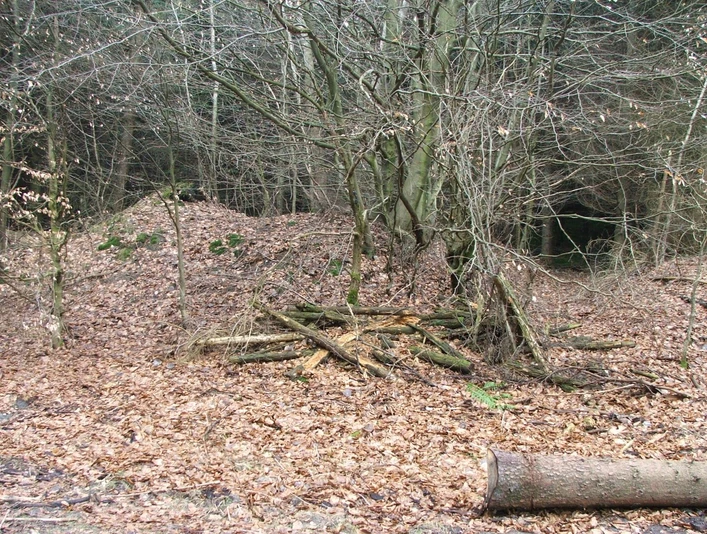
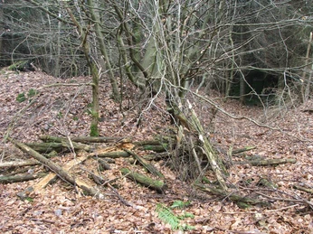
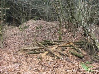
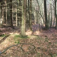
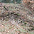
The roadblocks in Stapelage were legally registered as a ground monument on 12.11.1990 and 18.02.1991. The explanatory memorandum of 12.11.1990 states:
20 m long section of a 7 m wide double rampart 1 m high, accompanied to the west and east by a 4 m wide and 0.40 - 0.50 m deep ditch. Remains of a road barrier used to control the path into the Stapelager Gorge in the Middle Ages and early modern period."
The explanatory memorandum of 18.02.1991 states:
"100 m long section of a double rampart, 5 m wide at the bottom and only 2.50 m wide uphill, 1 m - 0.40 m high with a 2 m wide ditch on both sides. Remains of a road barrier used to control the path into the Stapelager Gorge in the Middle Ages and early modern period."
From both explanations, it is clear that the roadblocks were dated to the Middle Ages and the early modern period.
Scientific excavations have not yet been carried out on most of the existing roadblocks. The question therefore remains as to whether ramparts were erected there in earlier times and against whom these barriers were then directed.
A possible explanation of this question is given by Th. v. Stamford in his book "Das Schlachtfeld im Teutoburger Walde" from 1892, p. 134:
" When viewed carefully with a military eye, they ( the barriers Ann. d. Verf.) did not appear to be designed to prevent an external enemy from entering, but to prevent an internal enemy from leaving! As a result, they were immediately conspicuous to a completely different degree... The works were therefore intended for a very exceptional case, but such a case has only occurred once in history, and that is the destruction of the Varus legions in Cherusci country."
With regard to the nature of the ramparts, Stamford states:
"The lesser strength*) of the works and the nevertheless recognizable basic form despite all the differences, on the other hand, stamp the fortifications again as "built for a temporary purpose and at the same time, i.e. only for the very special case of the Varus catastrophe". ...
*) " On average, the ramparts were probably 10 feet high from the bottom of the ditch to the top of the rampart. Given the short time available, the soil contributed significantly to their strength, as well as to their subsequent preservation. The ramparts are almost completely raised from both sides, they were hardly ever made up, and not much time seems to have been spent on them. They could have been completed in one day by the appropriate forces" (p. 148).
In this context, it is also interesting that the roadblocks face north.
" For just as the Roman army was to be prevented from breaking through to the south by these fortifications, it was also not allowed to break free again to the north. We found installations to this effect in the northern ridge of the battlefield" (p. 135).
Here are some examples:
Hillegossen-Holtemp crossing (p. 138):
"Here are the ditches against the path from the north"
Side pass west of Wrachtrup;
"At the most appropriate place, about 30 steps below the summit, on the northern slope, i.e. without question facing north, there is a rampart across the pass (and also beyond the gorge), which once completely blocked it off" (p. 141);
Barriers on the Heinrichsberg (p. 139)
"Now, however, the barriers to the west of the Heinrichsberg are still clearly directed towards the north - against an enemy from the north."
Welsche Egge Oerlinghausen (p. 137):
"Most of the works were simple roadblocks, ramparts thrown up crosswise, with no great care taken with their exterior. ... There is a barrier at the exit of the Welsche Egge to the Senne. The ends ran a little way up the Menkhauser and Barkhäuser mountains. However, the barrier is not directed towards the Senne, but towards the Welsche Egge, as can be clearly seen on the still existing part on the Menkhauser Berge. Apart from this gate, there is also a crossing between Barkhäuser and Ravensberg, a fairly high and steep saddle with a sharp ridge. This is already a good defensive point, but there seems to have been a rampart about 5 steps below, as traces of one were visible on the right and left in the forest fringe to the north, but there is a gap in between."
Stack of roadblocks (p. 174/175):
"The first barrier is at the narrowest point of the entrance. It reaches quite high up the Kalenberg, less so on the small Stapelager Berg. It is stronger than the previous ramparts, but is cut through by the ravine. About 50 paces behind the barrier between the arms of the ravine lies a redoubt (Ringschanze, now almost obliterated) on a small hill. It probably served both as a sentry and signal post. These installations are undoubtedly directed towards the north. This is less obvious in the case of the second barrier, which closes off the exit to the Senne between the Ravensberg and Stapelager mountains [s. Figure Hölzermann Riesenberg today gr. Stapelager Berge}. Both are separated by deep ravines, which unite under an earlier extended hill, which also carries a redoubt. However, the latter is much larger and quadrangular, three sides of the rampart are still recognizable, otherwise, as on the first barrier, most of it has been mutilated by afforestation and on a deep sandy soil. Both the Ravensberg and the Stapelager lead to the Senne. Both were therefore also blocked off and connect these ramparts to the ravine in question. as well as the redoubt forming the core work. You can clearly see on the spot that this fortification was also directed against an enemy from the north and was very strong."
According to Hölzermann, the fortification on the Tönsberg consists of an older Germanic part and a Saxon part dug into it later. Hölzermann also mentions two high mounds. One is located on the crest of the Calenberg near Wellentrup - now called Münterburg. Such external works lead to the assumption that at least part of the roadblocks date back to Germanic times.
Content: W. Lippek/W. Thevis
Sources:
Thomas v. Stamford, "Das Schlachtfeld im Teutoburger Walde" , Cassel 1892
Ludwig Hölzermann, " Lokaluntersuchungen, die Kriege der Römer und Franken, sowie die Befestigungsmanieren der Germanen, Sachsen und des späteren Mittelalters betreffend", published by the Verein für Geschichte und Alterthumskunde Westfalens, Abteilung Paderborn, Paderborn 1878
Good to know
Payment methods
Directions & Parking facilities
Nearby
