- 1:10 h
- 4.06 km
- 94 m
- 94 m
- 238 m
- 333 m
- 95 m
- Start: Parking lot Am Oekerberg
- Destination: Parking lot Am Oekerberg
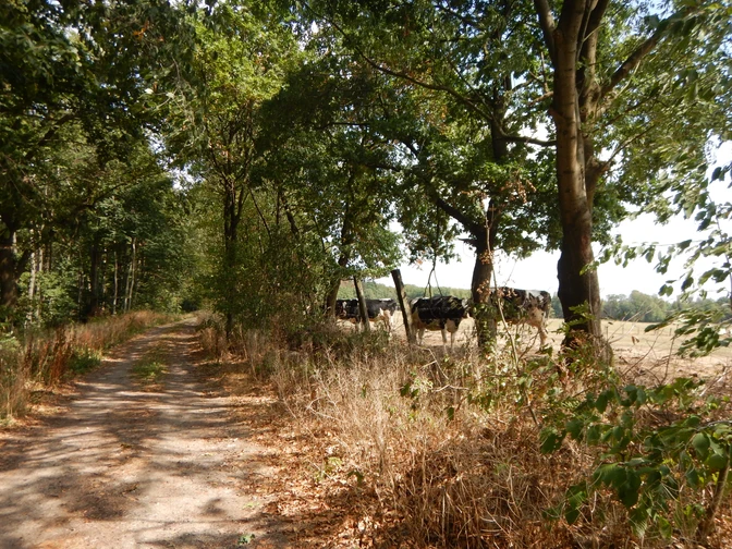
The local circular hiking trail A4 runs via the Schützenplatz and along part of the Dohlenberg. Over the ridge of the Eikerberg, you hike around the meadows and the valley of the Köterbach. You return to your starting point along the Hoffeld and around the Brugberg.
Good to know
Pavements
Unknown
Asphalt
Gravel
Trail
Path
Best to visit
suitable
Depends on weather
Tour information
Loop Road
Directions & Parking facilities
Parking lot Am Oekerberg
Accessible by bus line 770 and 760 from Schieder. Get off at the Am Oekerberg bus stop in Schwalenberg.
License (master data)


