- 1:15 h
- 3.56 km
- 15 m
- 18 m
- 87 m
- 99 m
- 12 m
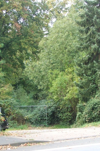
- Start: Friedrich-Petri-Straße / Westtor
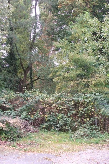
The Werreuferweg is a scenic and varied hiking trail. It runs along the banks of the Werre and meets the Wappenweg at the end, which you can follow to Pottenhausen. .
Waypoints
Start
Good to know
Best to visit
suitable
Depends on weather
Directions
The Werreuferweg begins opposite the Westtor and runs along the banks of the Werre. The path is around 4 km long and joins the Wappenweg, which you can follow to Pottenhausen. Iggenhausen Castle is located in the Pottenhausen district of Laghens, which you can visit from the outside. The "Reinholdimarkt" takes place in Pottenhausen every year in October
Equipment
Sturdy shoes and clothing suitable for the weather.
Directions & Parking facilities
A2, exit Bielefeld-Zentrum on the B66 in the direction of Lage. At the Westtor, follow the main road to the left and park on the right-hand side.
On Friedrich-Petri-Straße.
Take bus line 769 from Lage (Lippe) station to the "Friedrich-Petri-Straße" stop.
License (master data)
Safety guidelines
There is a risk of slippery roads in winter.


