- 1:30 h
- 5.23 km
- 127 m
- 102 m
- 165 m
- 266 m
- 101 m
- Start: Oerlinghausen Archaeological Open-Air Museum, Am Barkhauser Berg 2-6 (information point of the Senne and Teutoburg Forest nature conservation project)
- Destination: Starting point - End point
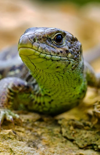
The interplay between the landscapes of the Teutoburg Forest and the Senne is unique in Germany. While it is the copper beech forests in the Teutoburg Forest, under whose canopy thousands and thousands of wild garlic, anemones and other spring flowers spread in April, it is the historic cultural landscape in the Senne with its heaths, rough grassland and sparse forests that make the landscape so attractive for hikers. A real highlight of the hike is the park-like landscape of the Hassler sand pit. Numerous rare and endangered animals and plants have settled here and the sand pit is now one of the most important areas for nature conservation in the Senne outside the military training areas. From the woodlark to the very rare stonechat, the sand lizard and the endangered non-poisonous smooth snake, through to heath carnations and orchids, a multitude of natural treasures can be found here in a small area.
Waypoints
Good to know
Pavements
Best to visit
Directions
Coming from the Archaeological Open-Air Museum, we follow the signs on the information board about the project and then keep to the trail markings with the lizard. We first hike around the museum grounds on a tarred path, before heading uphill into the green beech forests of the Teutoburg Forest (see Ochsentour), before the path leads us down to the Hassler sand pit.
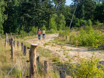
There are several information boards at the landscaped areas providing information about this natural gem. Here we turn right and the path leads us downhill directly into the heath. Once at the bottom, we cross a road for transporting sand and leave the sand pit, walking uphill towards the edge of the forest.
Small mounds of sand can be seen to the right of the path. They are a reminder of the dynamics of the Senneland landscape over the past millennia.
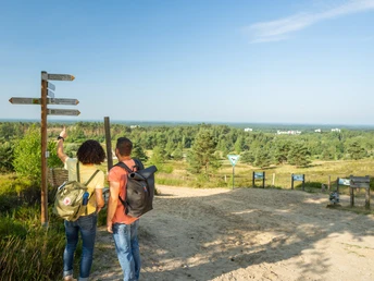
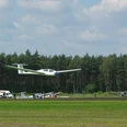
We continue to follow the lizard markings to the pasture paddock, turn right there and walk directly towards the viewpoint at the paddock (be careful! The lizard trail turns right before the viewpoint. Do not follow the markings here at first, but take the opportunity to walk to the viewpoint). With a bit of luck, you can watch the forest cattle and wild horses grazing in the show paddock from the viewpoint. If you like, you can also watch the planes taking off and landing from the glider airfield directly behind the pasture paddock, as we are located directly below the flight path for motorized aircraft.
After enjoying the view and taking a short break on the benches, we return to the lizard trail, which we follow along the outer fence of the paddock to its end. Here it branches off to the right, only to turn right again a short time later at the edge of the settlement into the Hanning sand pit. After leaving the sand pit, the path runs through a residential area for a short time before leading back up to the Teutoburg Forest at the wood-fired power station, which is used to generate electricity and heat from renewable raw materials. At the next trail junction, it is worth taking a detour to the left to take a look at the Foerth limestone quarry, which is managed by NABU Oerlinghausen in cooperation with the large-scale nature conservation project.From the vantage point, we look directly at the steep walls of the quarry with its sloping limestone layers, which make us aware of the great energies that were necessary for the gradual folding of the Teutoburg Forest. The quarry itself is a habitat for eagle owls and the rare natterjack toad and is kept open by grazing goats.
Back on the lizard trail, we follow the path uphill for a few more meters before returning to the starting point at the Archaeological Open-Air Museum on the outward route.Tour information
Familiy-Friendly
Loop Road
Equipment
Sturdy shoes!
Binoculars!
Don't forget your camera!
Oerlinghaus hiking map "Hiking experience" -
We recommend that you take the "Oerlinghauser Erlebnisguide" with you. The local hiking trails are described here in detail and informatively.
You can obtain the brochures from the tourist information office or download them from the homepage.
Directions & Parking facilities
A33, exit 22, direction Oerlinghausen L751/Tunnelstraße, follow the signs to the museum
A2, exit 27, B66 direction Oerlinghausen, turn right onto L751/Tunnelstraße, turn right direction Oerlinghausen, follow the signs to the museum
You can find information on convenient parking and relaxed hiking here.
Public transport line 34 stop "Kastanienkrug", line 39, stop "Friedrichstraße", direction "Kastanienkrug", street Welschenweg, right street Triftweg, after 100 m museum
Additional information
www.ngpsenne.de (you can also download an app for the hiking trail here)
License (master data)
Author´s Tip / Recommendation of the author
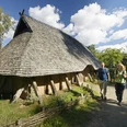
Visit to the open-air archaeological museum
View of the Foerth limestone quarry (view of the cliffs)
Visit to the old town in Oerlinghausen
Safety guidelines
Map
Oerlinghaus hiking map "Hiking experience"
We recommend that you take the "Oerlinghauser Erlebnisguide" with you. The local hiking trails are described here in detail and informatively.
You can obtain the map and brochure from the tourist information office or download it from the homepage.
Our recommendations
